Description
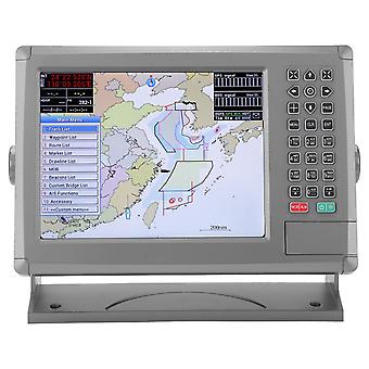
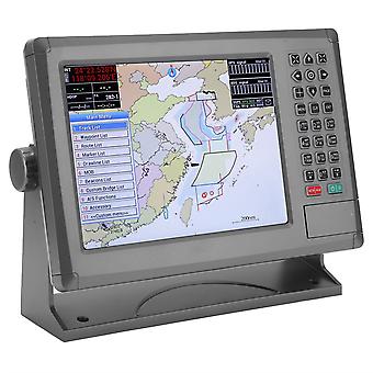
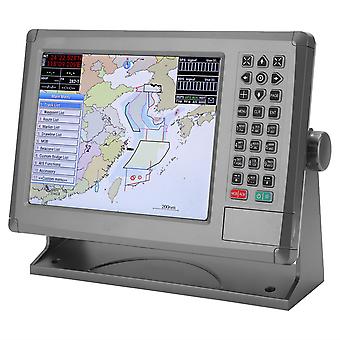
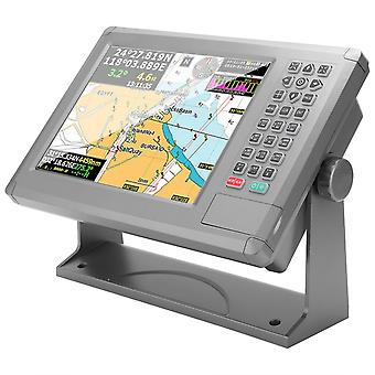
Marine Navigator,10.4in Marine Navigator Color Sailing GPS Boat Accessory Precision Engineered
Features
1、10.4 inch color LCD, with 800 x 600 resolution, high brightness and wide viewing angle, high sensitivity keys, clear key text and patterns, and meet the IPX6 waterproof standard. 2、C-MAP (MAX) and XINUO-MAP dual chart systems are available for users to choose. The AIS input port is convenient for connecting AIS equipment and dynamically plotting AIS targets on the chart. 3、Built-in global chart regularly and freely upgrades chart, floating GND power supply design, which is more stable and reliable, friendly man‑machine interface, simple keyboard operation mode. 4、Real‑person speech synthesis technology provides you with humanized voice announcements and warnings. Stepless backlight adjustment, multiple adjustment methods, which supports comfortable night use mode. 5、Supports tabletop and embedded installation, which can be convenient for you. Adopt wide voltage design: DC voltage 10V~36V input and high‑precision GPS receiving module.
Specification
Item Type: Marine Navigator
Material: ABS+PVC
Purpose: Marine Navigation
Display Unit:
Display Type: Color Tft LCD
Display Size: 10.4in
Display Resolution: 800 × 600 Pixels (SVGA)
Display Brightness: 300cd/m2
Languages: English, Simplified Chinese, Traditional Chinese, Vietnamese, Malaysian, Turkish, Thai, Greek, Indonesian, Japanese, Korean, Spanish; Burmese
Display Mode: Standard Chart View, Simple Chart View, Ais Data, GPS Data, Navigation, Compass
Memory Capacity: 6000 Waypoints; 10000 Marks; 800 Tracks;
200 Routes (48 Points Per Route);
200 Pull Cords (40 Points for Each Pull Cord);
Interface: 1 Serial Port Output 1 Port; 2 Serial Ports Output 2 Ports; Ais Input 1 Port
Chart: C-MAP (MAX) & XINUO MAP
Power Supply: DC12V-36V
Environmental
Working Temperature: -15℃-+55℃
Storage Temperature: -20℃-+60℃
Waterproof: Ipx65
Global Navigation Satellite System
Gnss Receiver: 72 Channels (support WAAS/EGNOS/MSAS/GAGAN)
Receiving Frequency: L1 (1575.42MHz) B1 (1561.098MHz)
Positioning Accuracy: GPS&BDS Approx. 2.5m / 98.4in
Global Positioning System: Approx. 5m / 196.9in
Beidou: Approx. 5m / 196.9in
Speed accuracy: 0.1m/s (50% at 10m/s)
Acquisition Time: Cold Start: <32s, Hot Start: <1s
Tracking Speed: 999 Knots
Coordinate System: WGS-84 (and Others)
Standards
IEC 60945 :2002 EMC related items
ETSI EN 301 489-1V1.8.1:2008 EMC related items
IEC 60950-1:2006
ETSI EN 301 489-3 V1.4.1:2002 EMC related items
IEC 60529:2006 EMC related items
ETSI EN 300 440-2 V1.4.1:2010 Spurious related itemsms
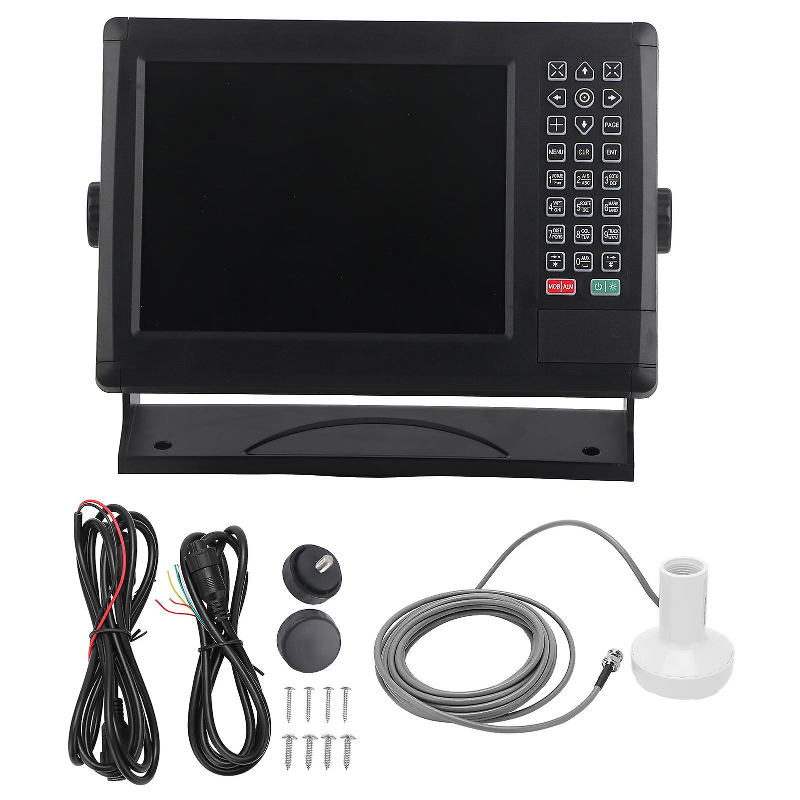
Package List
1 x Marine Navigator
1 x GPS
1 x Signal Transmission Data Line
1 x Power Cord
1 x Install the Base Bracket
2 x Side Fixed Knob
4 x Rubber Gasket
8 x Mounting Screw
1 x Manual
-
Fruugo ID:
278737051-619913713
-
EAN:
9797733593206
Delivery & Returns
Dispatched within 10 days
Shipping from China.
We do our best to ensure that the products that you order are delivered to you in full and according to your specifications. However, should you receive an incomplete order, or items different from the ones you ordered, or there is some other reason why you are not satisfied with the order, you may return the order, or any products included in the order, and receive a full refund for the items. View full return policy